


Bacardi #3 Slide Deck
March 8 Debrief and Video

Brio March 4 Debrief
Sentinel March 2 Santa Barbara Practice
Bacardi #2 Debrief Slide Deck
Bacardi #2 Debrief Material
Forecast For Friday, January 29
Overview
Last night a cold front brought peak wind, with temperatures dropping dramatically. Today, expect to see more breeze, cold temps, and fading breeze throughout the day as we transition from the clearing low pressure into a high system to the west. Interestingly this could bring left shift as the high moves closer, which is unusual for a clearing cold front in Miami. Very little wind shear is present, so the weather shoreline is likely to make the left strong on the aggregate. With offshore flow, expect a puffy, shifty race course with more wind away from land.
Weather Analysis

1000

1200

1400

1600
Little variation in wind direction down low versus aloft today, and fairly stable wind direction throughout the day today mean that offshore shift patterns and geographic effects will dominate today.
Overall, expect a shifty day and trust your eyes. With that said, the weather shoreline may cause the left to be stronger in aggregate. The local knowledge in this wind direction is that the left pays when the wind is left of the Miami skyline.
Boat Handling Day
With big breeze, clean boat handling will be very important, so avoid port tack layline, and keep your lives simple by looking for low density positions on the starting line.
Summary
Overall, expect a puffy, shifty day with a slowly fading breeze throughout the day.
A small left trend may be present, which may correspond with clearing skys (fewer clouds).
Edges of the fleet will be high percentage in the gradient breeze, but most important will be staying lifted with the fleet.
Largely a boat handling day - trust your eyes strategically, and put the boat in spots where it’s easy to execute good boat handling.

Outlook
Expect a tapering breeze Sunday, slightly farther right, but still flat water

Forecast For Friday, January 28
Overview
Today the low pressure to the northeast starts to strengthen and intensify, bringing building gradient breeze. Some wind shear might be present with puffs associated with right shift in the wind. With offshore flow, expect a puffy, shifty race course with more wind away from land. Pressure will start lighter - probably around 8 knots, and gradually build with some puffs to 15 possible late in the day. Models differ slightly, so pay attention to the wind angles around 1000 to see which model is winning.
Weather Analysis

The low pressure system that kept wind light yesterday is beginning to strengthen and move north, bringing a stronger offshore gradient flow.

The European model shows wind right of 270 at 1000AM.

In contrast, the North American Model shows wind farther left, around 250-260 at 1000.
Yesterday the North American Model (NAM) did a better job predicting the light offshore conditions. Today the North American Model shows moderate wind shear (pictured below) with wind aloft 10-15 degrees farther right than at the surface. Look for a correlation between puffs and right shifts today, especially if the breeze starts out to the left of 270 at 1000AM.

Surface wind around 250-260.

600m wind (puffs) farther right.
Throughout the day, both models show a right trend to the breeze with the European model ending up as far right as 315 by 1800. This right trend will probably be visible on the water, as it will bring more breeze down the course.
Geography Versus Gradient
Geography will play a big role today with a weather shoreline. Generally weather shorelines are associated with less pressure, and more left shift, but this might be a small effect relative to the righty puffs if you see the right shift-puff correlation discussed above, playing out. In either case, the straight set around the top mark should benefit from both right puffs, and an average right geographic trend as you get away from land.
Where you guys will be sailing, a wind direction of around 300 degrees is perpendicular to the shoreline, so if you are on the water when the wind gets to the right of 300, don’t be totally married to a strategy that worked prior.
Summary
Overall, expect a puffy, shifty day with light conditions to start, building and trending right throughout the day.
Expect the breeze to trend to the right, with pressure bringing right shift.
Clouds forming to the north in the late afternoon may help to indicate the pressure build and right shift.
Look for a correlation between puffs and right shift - especially if wind is left of 270 at 1000.
Edges of the fleet will be high percentage in the gradient breeze.
Evaluate wind direction during the starting sequence, as late shifts will change the favor of the line a lot.

Outlook
Tonight a cold front comes through, causing a strengthening breeze Saturday that will remain from the N-NW. Saturday, expect a fade to the N-NE for the final day of racing.

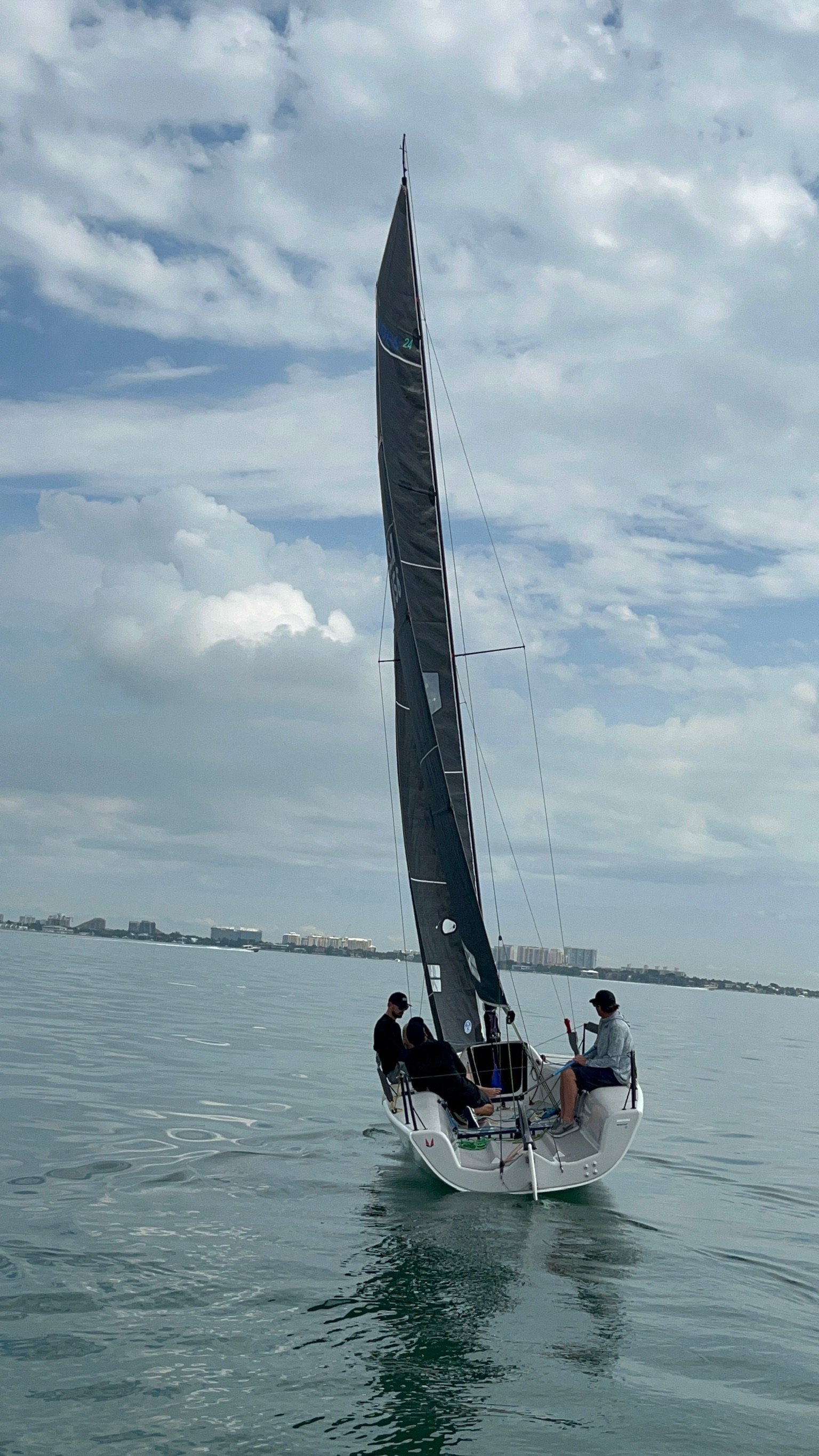
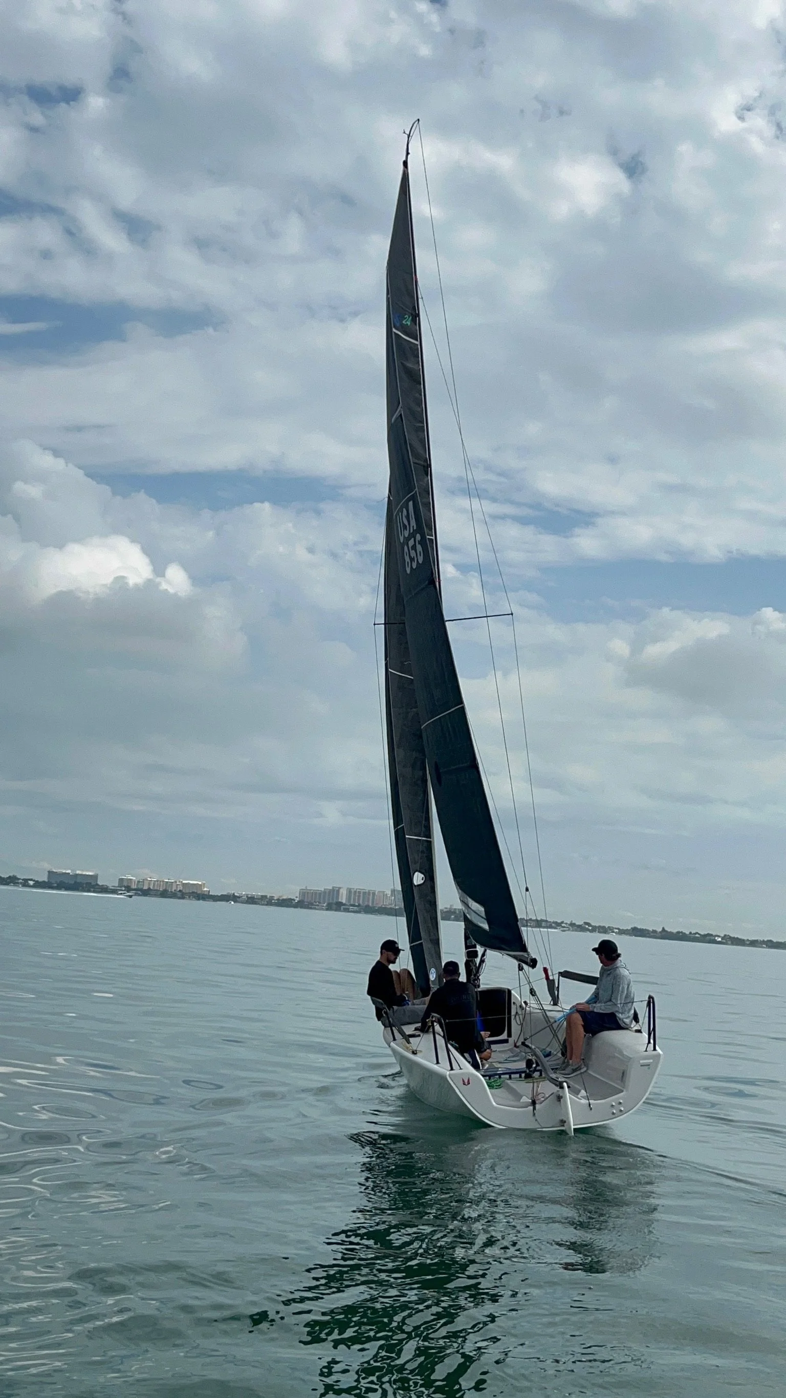
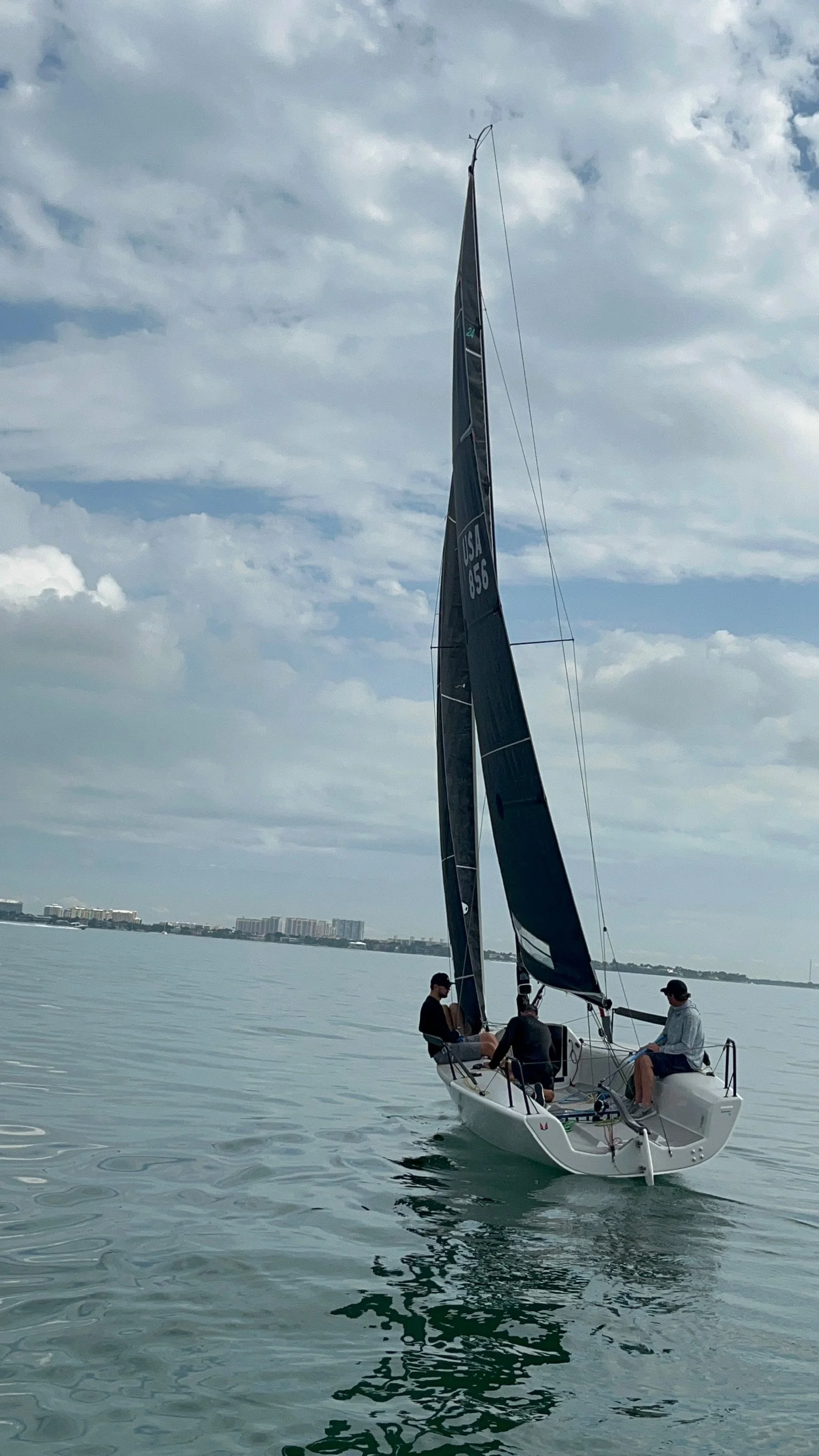
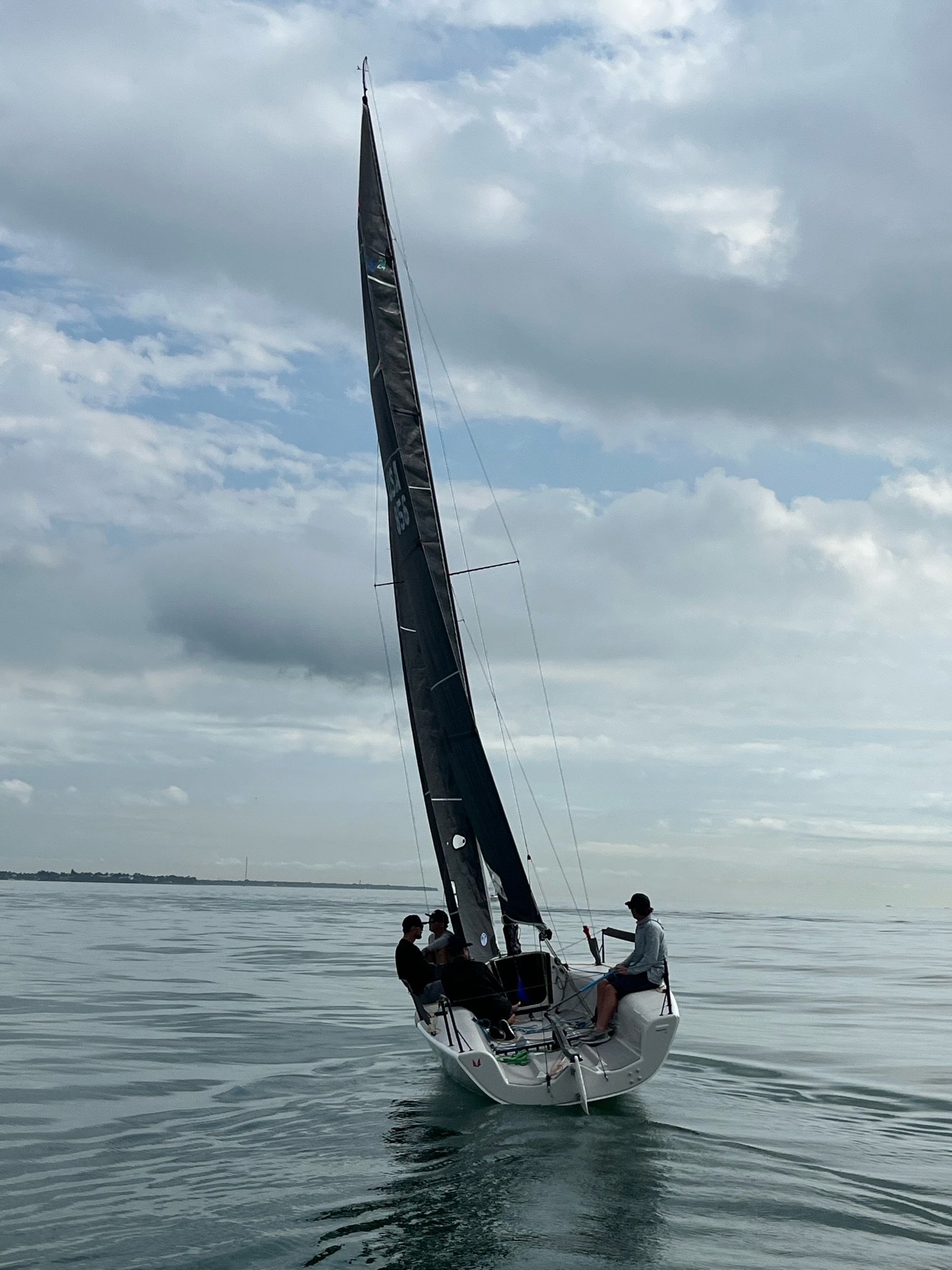
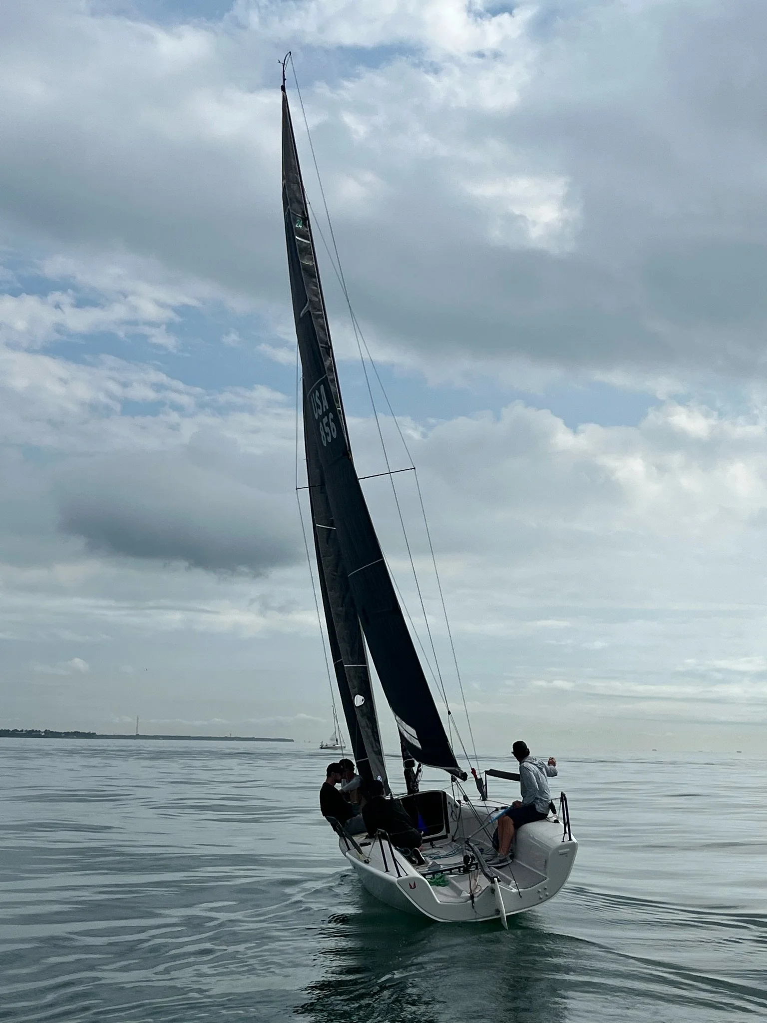
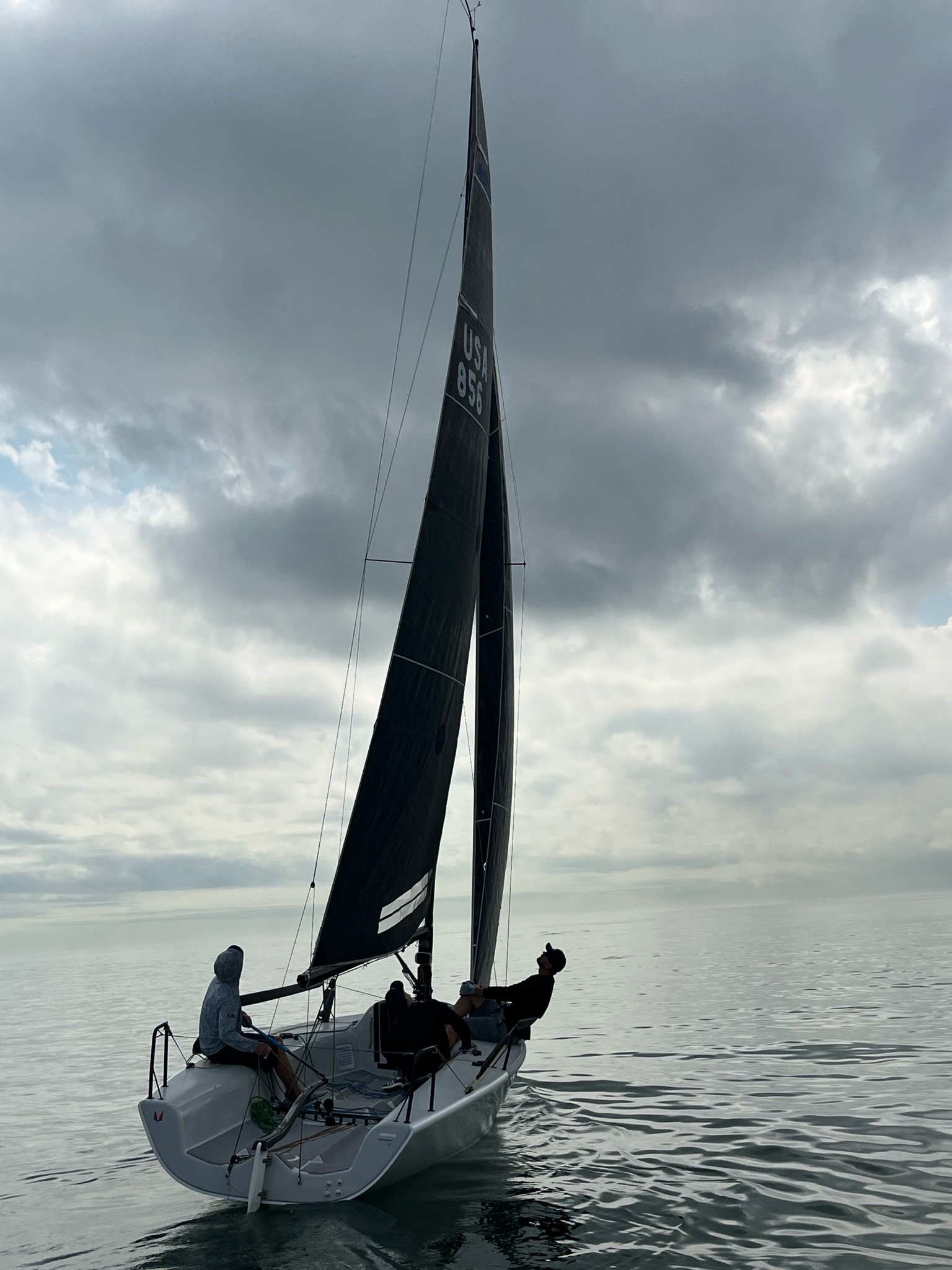
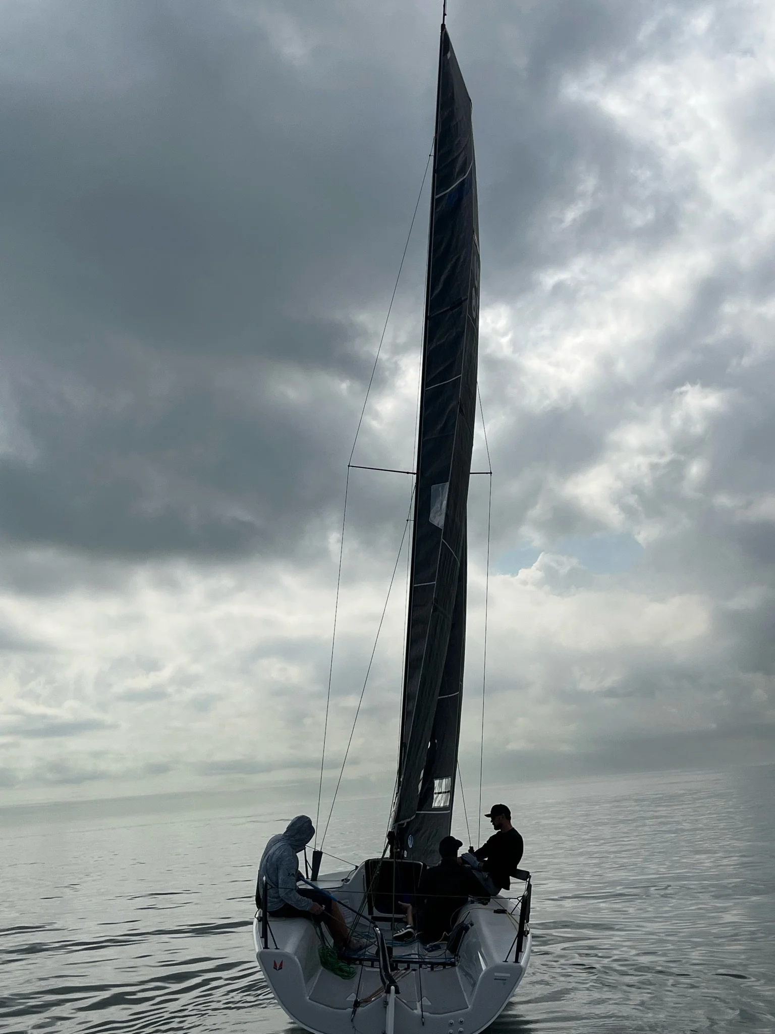
Sail Shots From Thursday, January 27


Forecast For Thursday, January 27
Overview
Light offshore gradient winds dominate Thursday, with a weather shoreline in play pulling the breeze left near the top of the course, but a right trend throughout the day should be evident as the low pressure system to the east moves away from Miami. Very important to be sharp on wind shifts during practice starting today, as favored end will change rapidly.
Weather Analysis

Currently a weak low has stalled to the East of Miami, killing the gradient breeze, and bringing scattered rain.

The European model shows light offshore flow in the morning with more wind aloft bringing puffy conditions.

Not enough temperature differential exists between the land and water for thermal development, so expect the gradient wind to dominate all day.


Wind aloft is slightly windier - around 10-13 knots - making that a probable upper limit of wind speed. Little variation in wind direction aloft means puffs likely have little correlation with direction.
Geography Versus Gradient
One interesting feature of the race course will be the weather shoreline. Expect lighter breeze at the top of the course and generally more left angle at the top relative to the bottom. This could favor the left slightly upwind, though the trend will likely be hard to tell until the end of the day.
Over the course of the day, the wind angle will trend towards the right as the low pressure system moves away from Miami.
In absence of pressure differences, this combination of factors may favor the straight set and extending to the right side looking downwind, but trust your eyes.
Summary
Overall, expect a puffy, shifty day with underpowered conditions unless the low pressure system clears out ahead of schedule.
Expect the breeze to trend to the right throughout the day.
Left angle may be present in the lighter pressure closer to land.
Right angle may be present in more breeze farther from land.
Edges of the fleet will be high percentage in the gradient breeze.
Evaluate wind direction during the starting sequence, as late shifts will change the favor of the line a lot.

Outlook
Strengthening breeze for the remainder of the weekend bring 3 solid days of racing conditions. Moderate to light air on Friday, is followed by a strengthening pressure system Saturday which will bring windy, flat water conditions. Moderate conditions on Sunday conclude the event.